Bella Coola
A Summer Journey up to Bella Coola on the West Coast of BC
CANADA
We decided to explore some of the unique corners of BC and during our research, we came across Bella Coola. This is an area of backcountry beauty and many hikes to explore. From Vancouver to Bela Coola is about 1,000 Kilometers so we decided to take a week to get there, explore, and then come back.
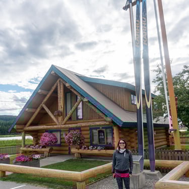
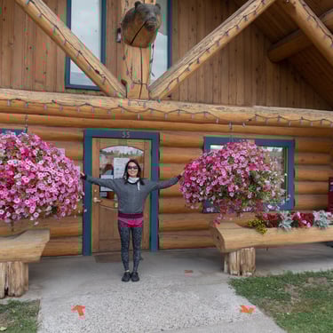
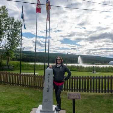
Surrounded by towering mountains and lush rainforests, Bella Coola is a nature lover's paradise and we were excited to hike the trails of Tweedsmuir Provincial Park and there was no shortage of outdoor adventures to embark on. The first day of the trip, we made it to the information center at the 100 mile house. Janet was very impressed with the big hanging baskets and took a pictures at the mile marker spot. After a quick snack, we continued driving north and camped at a rustic campground called Big Country Campground & RV site.
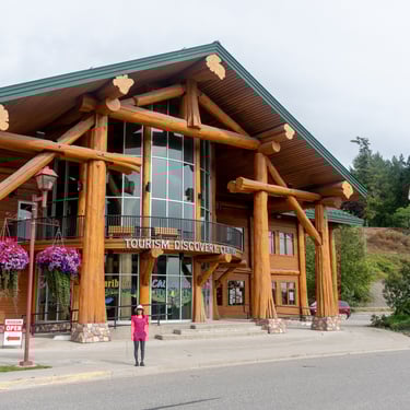
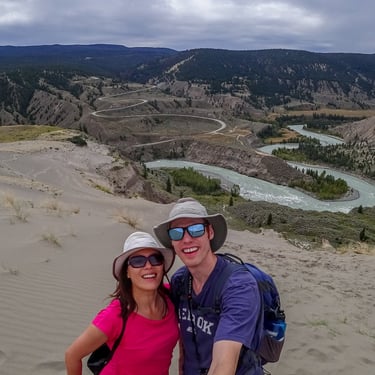
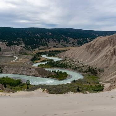
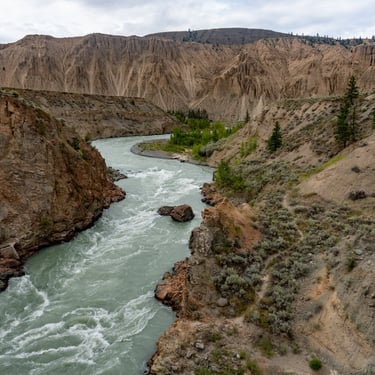
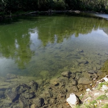
The next day we stopped at the beautiful Williams Lake Visitor center. We learned that there were sand dunes at the Farewell Canyon. This was just a minor detour off of Hwy 20 where we turned onto Farewell Canyon Road. On our way to our next campground, we went and did the Farewell Canyon detour and hiked the mini dessert of BC. Climbing up on the dunes gave us an amazing view of the Chilcotin River.
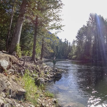
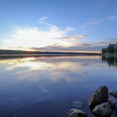
For our stay in Bella Coola we stayed at the Rip Rap Campsite. This campground is nestled right next to the Bella Coola River and has a great walking trail along the riverfront to view wildlife.
Getting back on the road, we stayed the next night at the Bull Canyon Campground. The next day was our final push to get to Bella Coola. The best place to stop for fuel that we found was in Anahim Lake before we started our decent into Bella Coola which was a steep and windy road. The road was very challenging. It included 11 km of switchbacks on the way up to Heckman Pass, nicknamed as The Hill, at 1.524m (5.000ft) above the sea level.
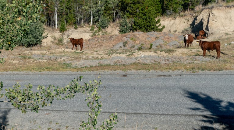
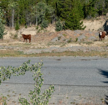
In the winter, the road can be closed for long periods of time with the only other lifeline into Bella Coola being the BC Ferries from Port Hardy. The snowpack got so deep the previous year that we found the information booth roof at the top of The Hill had collapsed due to the weight. As well you need to keep on the lookout for cows on the road.
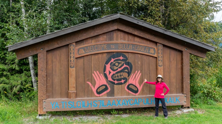
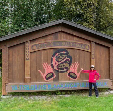
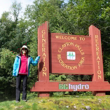
The next day we drove into the town of Bella Coola and snapped a photo with the Welcome Sign. We then continued on to explore the Clayton Falls Recreation Area, run by BC Hydro.
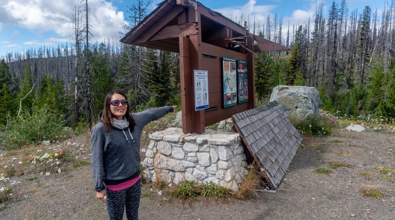
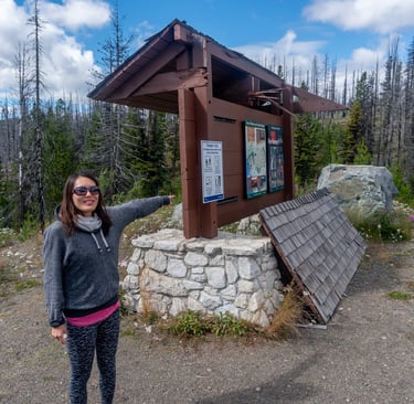
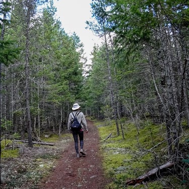
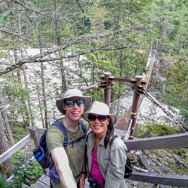
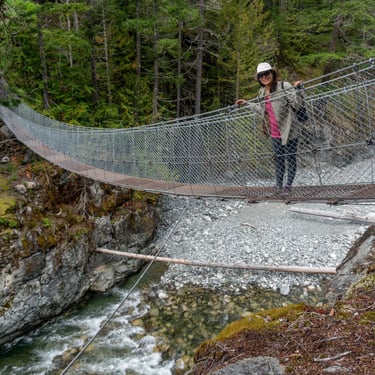
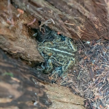
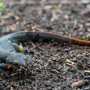
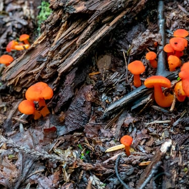
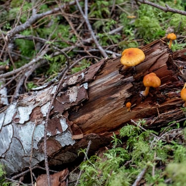
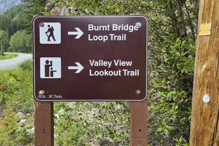
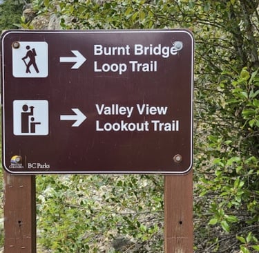
Upon arriving, we parked off the side of the highway and hiked the Alexander Mackenzie Memorial Trail. The sign at the start listed both the Burnt Bridge Loop and Valley View Lookout trail. The highlight of this trail was the lookout and suspension bridge. We also spotted a lot of unique mushrooms, some frogs, and a salamander.
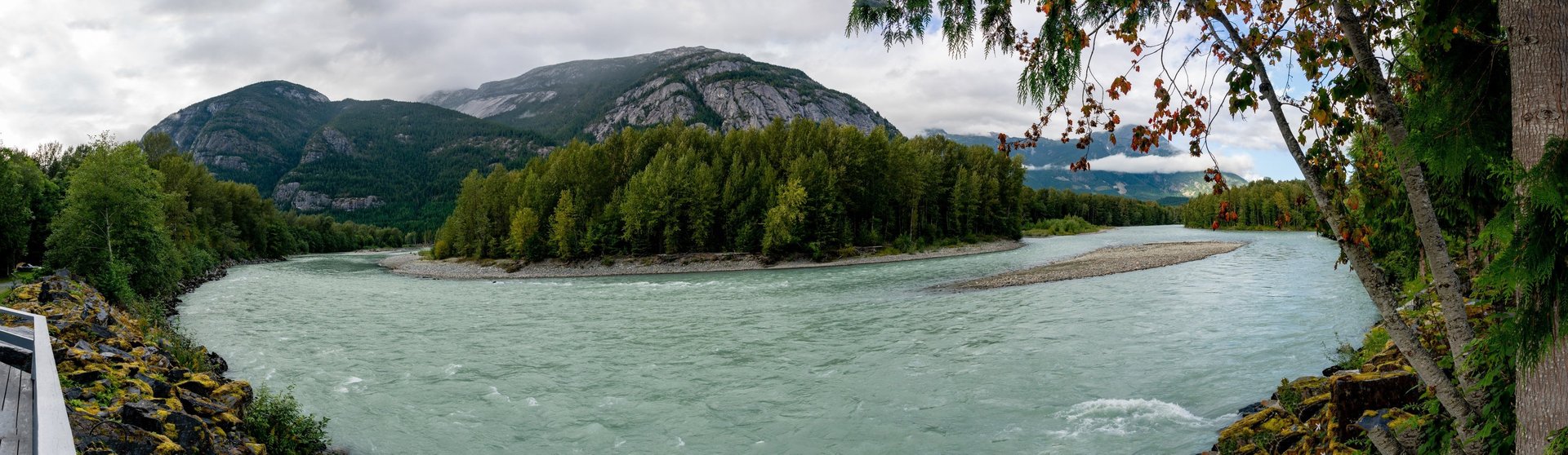

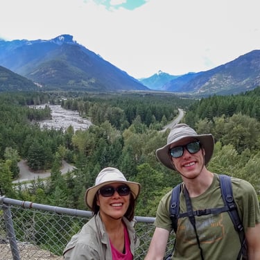
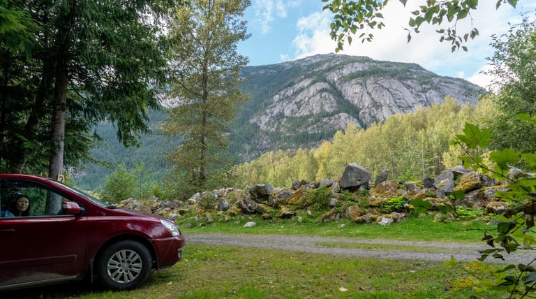
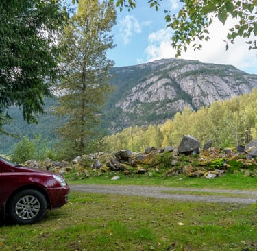
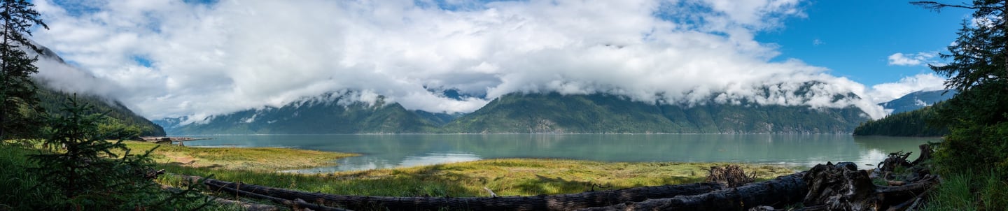
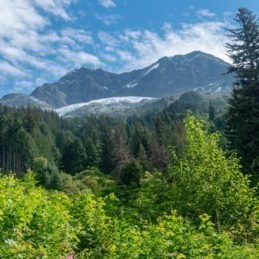
Mountain view from our Campsite.
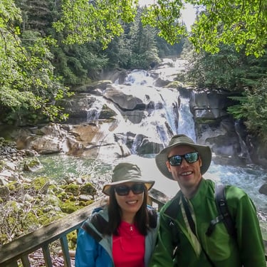
Our last adventure in the Bella Coola Valley was a stop at Tweedsmuir (South) Provincial Park. This area had a few short trails but the highlight was the amazing quantity of salmon making their way up the river to spawn. We were there in late August, but if you come in early September there are generally many grizzly bears that you can spot as well.
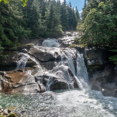
At Clayton Falls, you can hike some paths along the river, explore the Falls from the viewing platform, or walk along the ocean shore and have a snack at one of the picnic tables.
The trails were short and well maintained and the ocean view was stunning with the mountains shrouded in clouds.

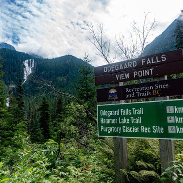
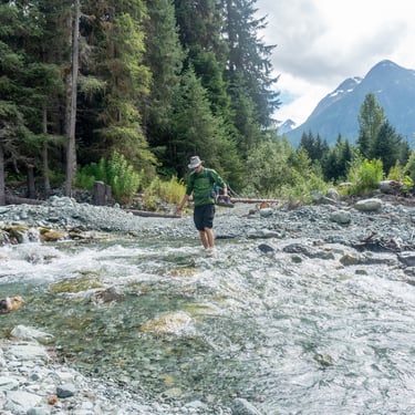
For our next adventure in the valley, we wanted to make it to Odegaard Falls. To get there we pushed our minivan to its limit on the FSR called Blush Road on Google Maps. At the time we drove the road, we made it about 20 km up the road until it became too loose and rocky for our front wheel drive minivan and we had to park. We found a small pullout and parked the van and walked the next 4 km to the viewing area.
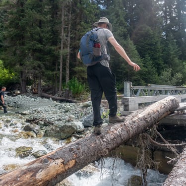
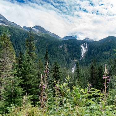
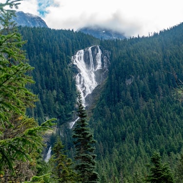
When we started hiking from our parking spot, a dirt biker passed us, but after about a 10 minute walk we met up with him again as he had to also park his bike at a washed out bridge where you could cross by balancing on a log or wade through the river. I balanced on the way out and then decided to wade through on the way back. We joined up with the dirt biker and walked the road together. As we hiked up we were able to spot sights of the Purgatory Glacier and some great view of Odegaard Falls.
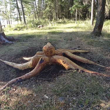
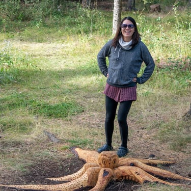
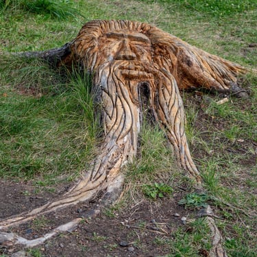
For our drive back, we did a one night stay at the Chimney Lake North Recreation Site. This was a basic site with limited amenities but was very quiet and had a great view of Chimney lake. Also at our campsite, a carver had turned a couple of old stumps into an old man and an octopus.

Our trip to Bella Coola was a nature and landscape overload. Every view was spectacular and exploring the area led to great wildlife sightings. A trip to Bella Coola isn't just about the destination but about the journey. Happy exploring!
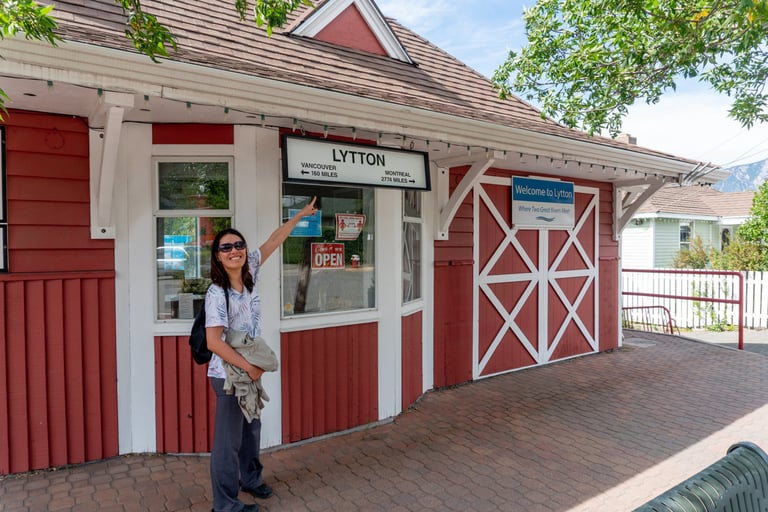
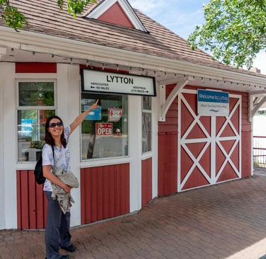
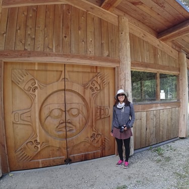
For a lunch stop on the way back, we stopped in the town of Lytton and did a brief stop at the visitor center and the Chinese museum. It was the very next summer that the town was destroyed by a fire. The building that Janet was standing in front of is now just a flat dirt area waiting to get rebuilt.